Far West Texas Wildlife Trail
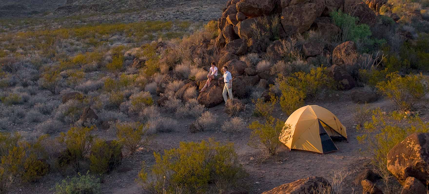
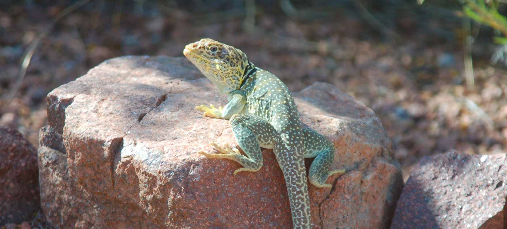
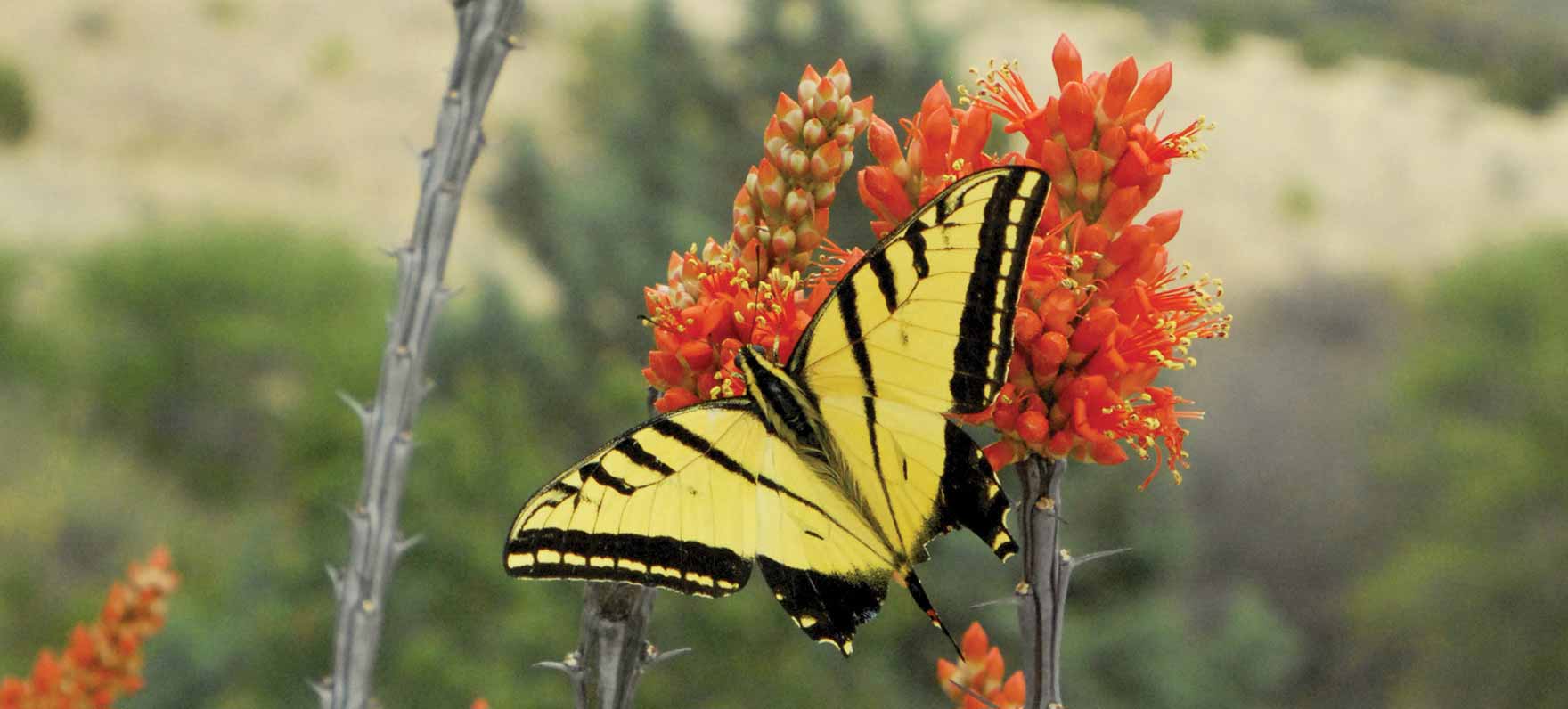
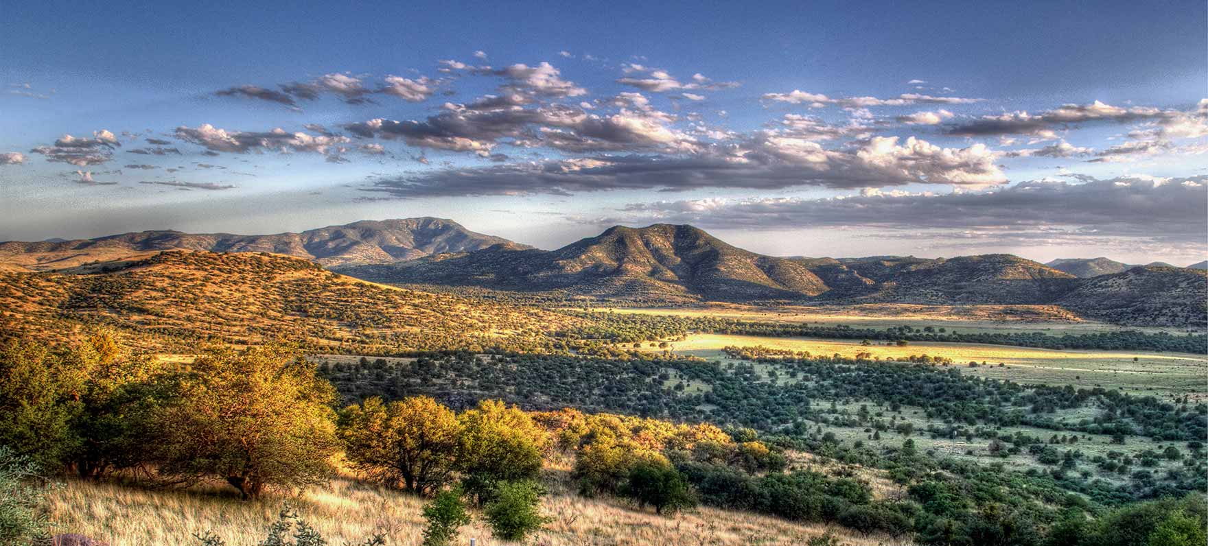
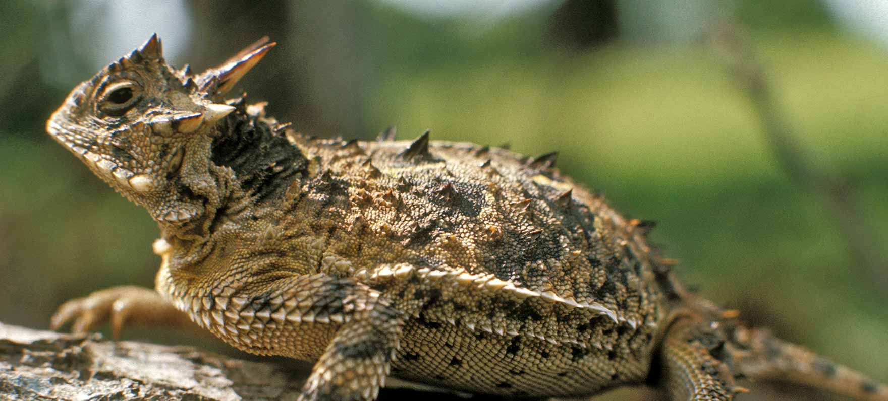
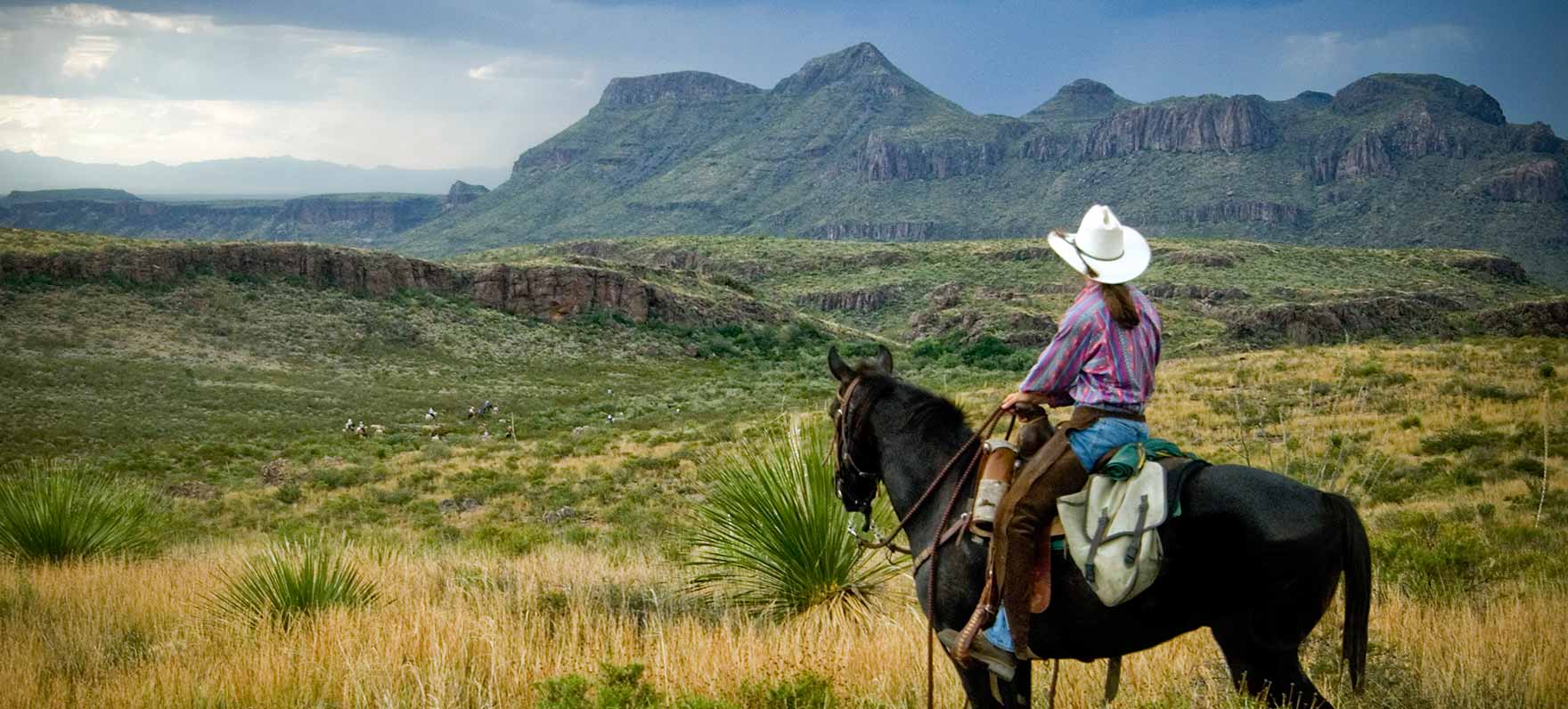
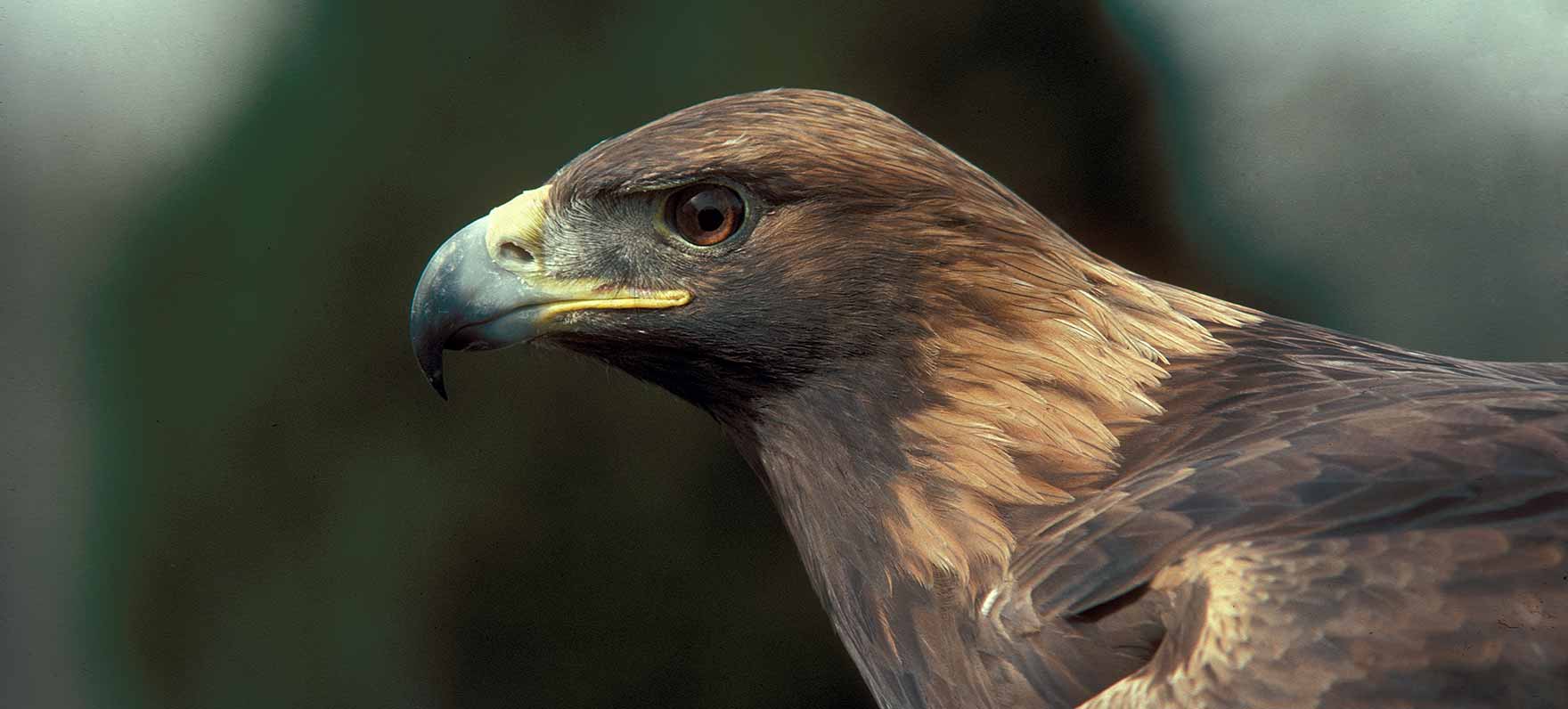
 Encompassing an area from El Paso to Midland-Odessa and down to the Rio Grande's border with Mexico, this map helps visitors discover a blend of natural and cultural resources such as historic structures, forts and ancient pictographs as well as a chance to trek through the rugged outdoors. Watch for Montezuma Quail, black-tailed jackrabbit and Cactus Wren to name a few.
Loops