Prairies and Pineywoods East Wildlife Trail
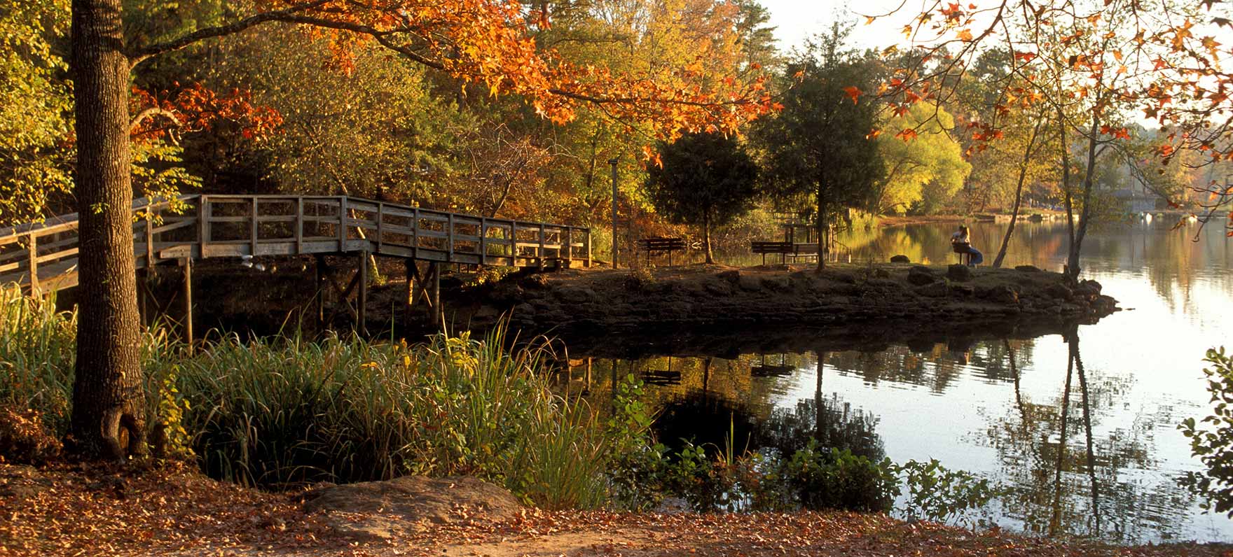
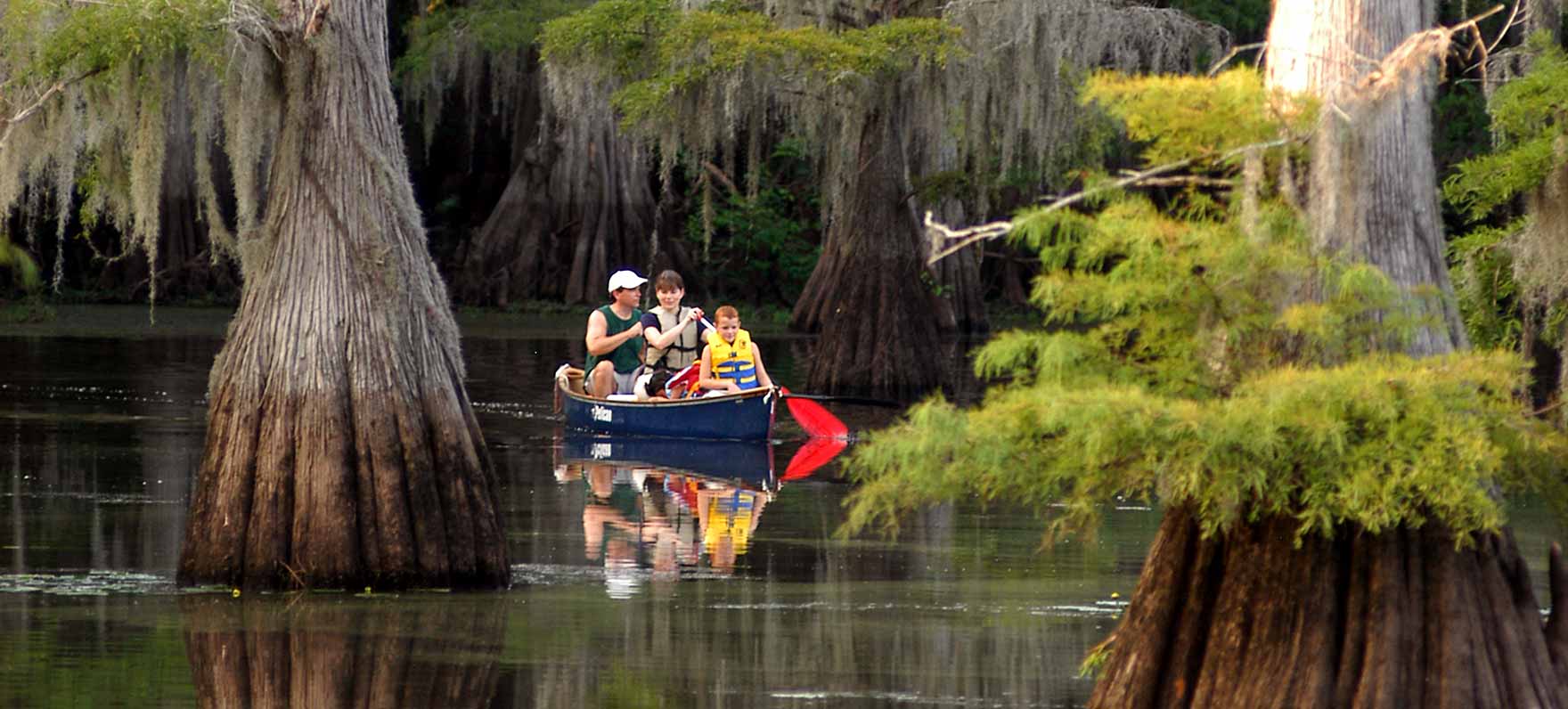
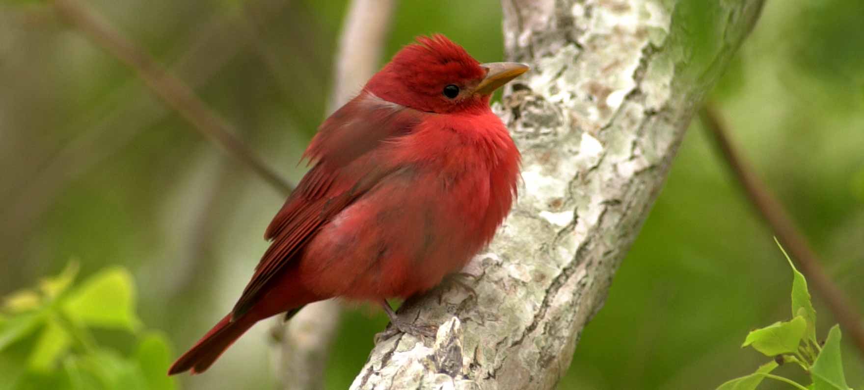
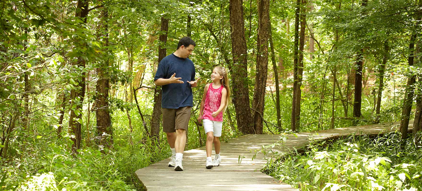
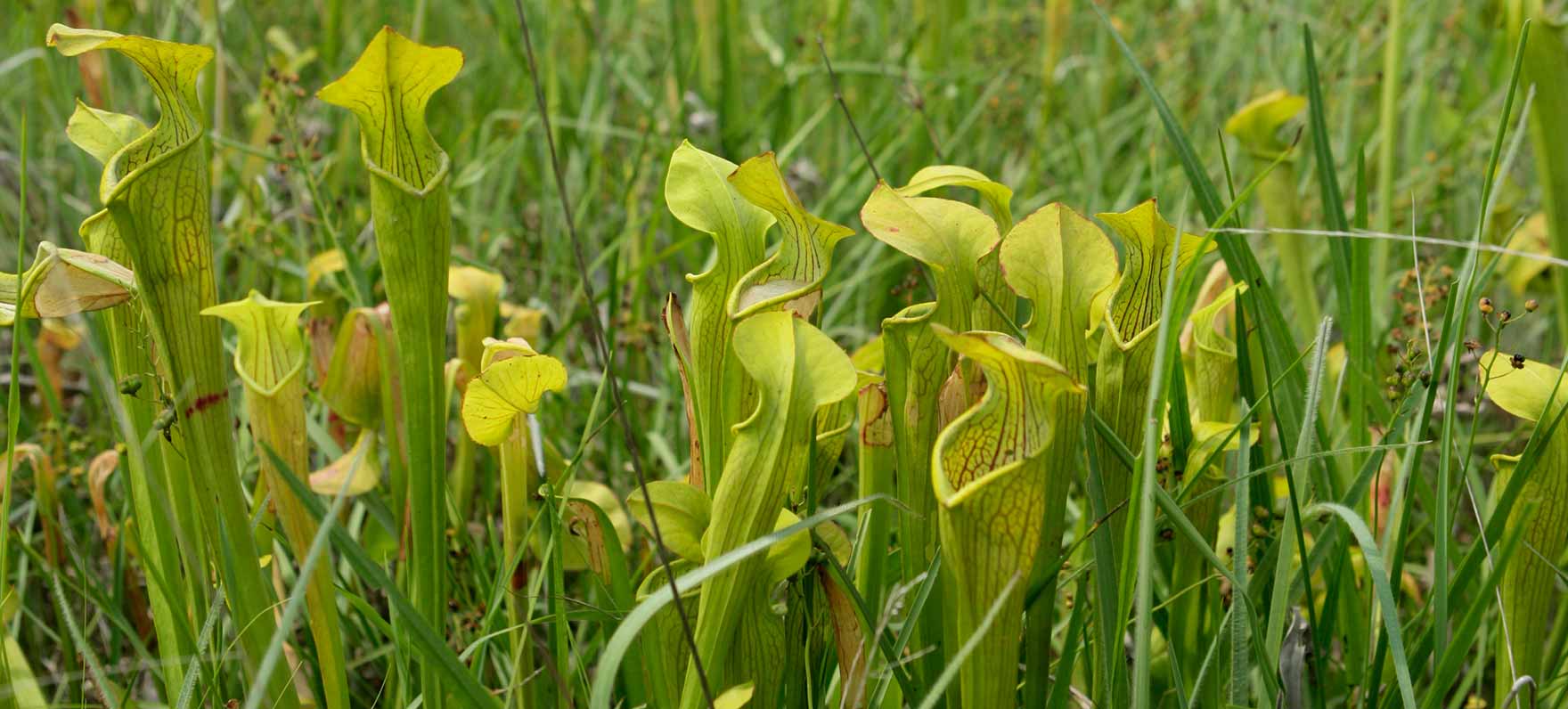
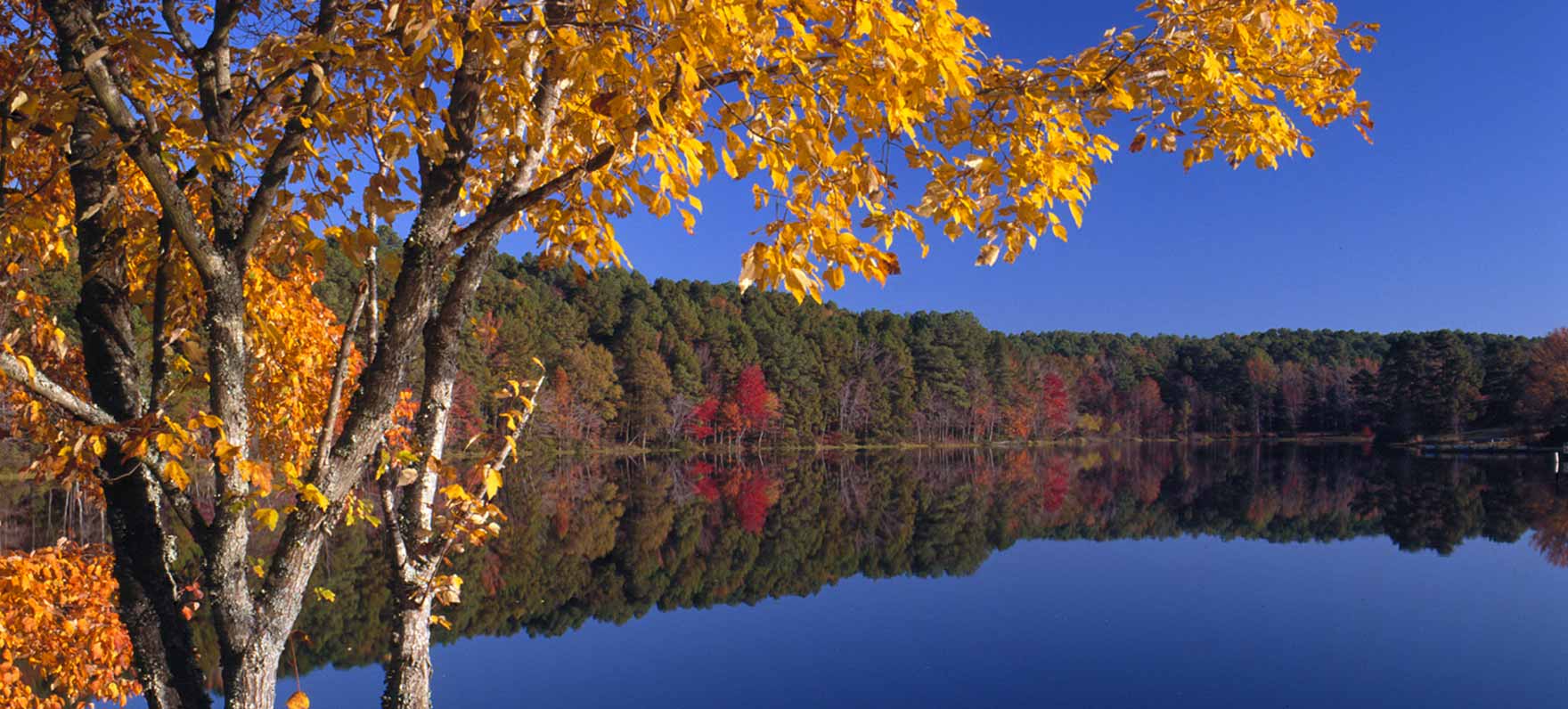
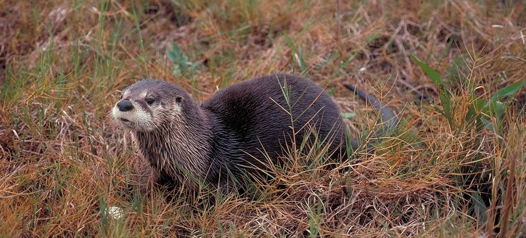
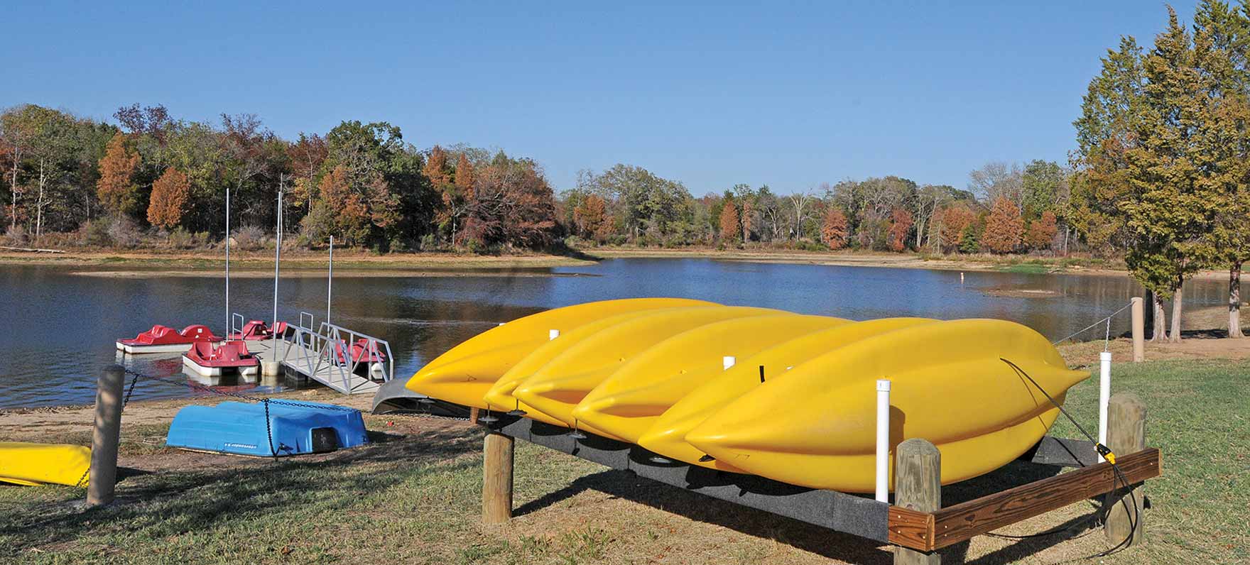
 Travel through a region that goes from Paris to Texarkana, and down through Tyler, Nacogdoches, Lufkin and Huntsville. Spend time in east Texas to explore the Big Thicket and hardwood forest for a variety of raptors, warblers, woodpeckers and other woodland species. Or, take time to fish one of the many lakes, rivers and streams and maybe spot an eagle soaring above.
Loops
Thanks to our major sponsors: